Saturday, 22 August 2015

46. Parker Ridge

Distance: round trip to saddle 4 k
Elevation gain: 272 m

On August 12, we started our third hike in a row,  a lovely, easy one with beautiful weather, even the wind up on top was pleasant. From the parking lot, we could see the ridge up above.
Following the trail indicated on the sign board would be easy for any traveler.
Again the flowers were mostly finished but on this hike, bright colour came from the foliage of various plants.
 The views were mountainous looking back at any point on the way up.
 Soon we arrived at the saddle along with many others.
First we climbed to the right for a look at the Saskatchewan glacier.I
It was mostly hidden behind the ridge from here. Judging by the number of wind shelters it must get pretty cold and crowded up here sometimes.
Even this high up in the Rockies, one can find many fossils. I can`t imagine this being an ocean.
We descended the right shoulder and went up the left. This gave a full view of the Saskatchewan glacier, lake and streams.
A waterfall flowed from another glacier to the left.
We ate our lunch at the end of this trail enjoying the full delta before us. There was a rock sticking out over the valley and I just had to try to get a little better pose for the camera.


45. Wilcox Pass

Distance: 12 k
Elevation gain: 335 m

On August 11, we left Mosquito Creek Campground early to get a site at Wilcox Creek Campground. There we had our breakfast before starting off.
The trail began at the entrance to the campground and based on the cars parked there, promised to be rather busy. The trail was wide and climbed and quickly rose above the trees to give views of the road and glaciers across.
It continued ascending at a steady rate up into the pass. We assumed this pile of rocks marked the high point and posed as usual.
Ridges to the west blocked the views of the glaciers so we extended the hike by passing over ridge after ridge to get to the west edge and admire the vast Columbia Icefields with various branches including the Athabasca Glacier.

It was way too cold and windy to eat lunch comfortably here we turned back and found a quieter spot.

We turned around and went back to join the trail through the pass.

44. Molar Pass

Distance: 20.4 k
Elevation gain: 540 m

On August 10, Monday morning we left Calgary early to get a campsite at Mosquito Creek. We crossed the road from the campsite, tested the water temperature in Mosquito Creek,(cold) and set off for Molar Pass.
The trail was easy, often along the creek with bridges for crossing. A couple tall waterfalls from a glacier held our attention as we walked along. Unfortunately for pictures and views the air was very hazy.(smoky)
The season was a little late for flowers so we enjoyed a variety of gorgeous mushrooms instead.
  Eventually we reached more openess and saw the pass ahead of us although we could not be sure of where the path would go.
A few more turns and we were encouraged by seeing the trail traverse the wall at an easy incline.
We entered the pass and surveyed the valley behind us.
The pass was wide and green and as we hiked in further we saw Molar Mountain.
Herm always wants to see what's on the other side so we walked on to the edge.
As with most passes, this one was very windy on top so we sunbathed in the lee of some krumholtz until it was time to go home for supper.

Friday, 17 July 2015

43. Healy Pass/Monarch Ramparts

Distance: 27km return
Elevation gain: 35m

July 15, 2015, we caught a nice day in the middle of the week for a day trip up to Healy Pass and back. Just before 9:00 we set off up the road and were glad for the sunshine given the forecast for clouds and showers later in the day. We crossed Healy Creek on a new bridge built after the flood of 2013.
After about 6km of walking through the woods we crossed the creek again and started to see the colourful  alpine meadows in peak season. The mosquitoes were so bad when we sat down that we needed our coats and ate quickly.
Flowers
 and
more flowers!
While walking through the meadows up to the pass, we studied the Monarch Ramparts and thought how wonderful it would be to walk on a ridge for 4 kilometres. Other hikers explained the route and told us it was do-able. We looked over the pass at Egypt Lake and Scarab Lake but the ridge looked more interesting.
As we ate our lunch we contemplated the view ahead and watched another group precede us. Follow the ridge to the end at the Monarch and descend slowly. There was an unofficial trail for the most part. We had ponchos for the rain. Why not do the circle?
One of the watering holes in this tarn-filled valley was Eohippus Lake where we would descend from the ridge - probably the most distant one.
The ridge was bleak but the views around us awe-inspiring, rugged on one side and greener on the other. We had to pull out our ponchos twice for 2 brief showers but they weren't cold. It's hard to get lost on top of a ridge so we just kept going.
We saw the rain clouds move down the Healy Creek valley so we would have gotten wet anyway. In the background was Mt. Bourgeau  (hike 4), our first major long hike, very visible from this ridge. We identified the pass at the left and the long ascent up the slope, a very good, still clear memory.
The trail began to descend above Eohippus Lake.
Up to this point the way had been clear but now we had to find the trail to Simpson's Pass and it did not seem to be marked. We walked in the general direction and came across a faint trail with a recently bent  plant which we followed confidently.
In 3 km we would hit the main trail at Simpson's Pass and continue on home through Healy Creek valley. What a wonderful hike!

42. Consolation Lakes

Distance: 6km return
Elevation gain: 60m

On Thursday, July 9, we chose easy Consolation Lakes for our third hike in a row. We started out early so as to get a parking spot at Moraine Lake.
The first hurdle was to get over the huge rock slide damming up Moraine Lake.
The rest of the trail was wide enough to walk side by side.
We got to the first lake where most people stop and enjoy the views from the rocks but this time Herm wanted to continue to the second lake so with a little trepidation I followed and scrambled over rocks behind him.
We enjoyed the reflections in the lake along the way but no reflections have ever compared with those in Sherbrooke Lake in Yoho.
The underwater rocks were covered with soft green mossy growth. I'm surprised I didn't go in to feel them.
After significant rock hopping we came to the second lake.
 We found a patch of green meadow on the far side and there we sat, in the sun, eating our lunch and listening to rocks and snow fall from the mountains across the lake.
  Eventually, we were lucky and saw as well as heard an avalanche break free from the glacier above.
Alas, all good holidays must come to an end and we started back. A marmot appeared to say good-bye.
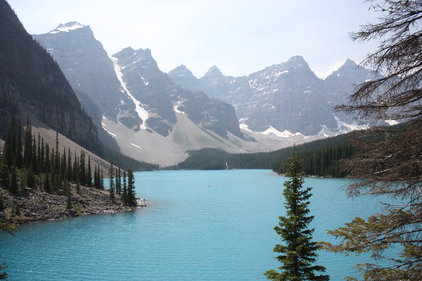
A little climb up the rocky rock fall gave us a good-bye view of Moraine Lake and some of the ten peaks we enjoyed so much on the Eiffel Lake hike.