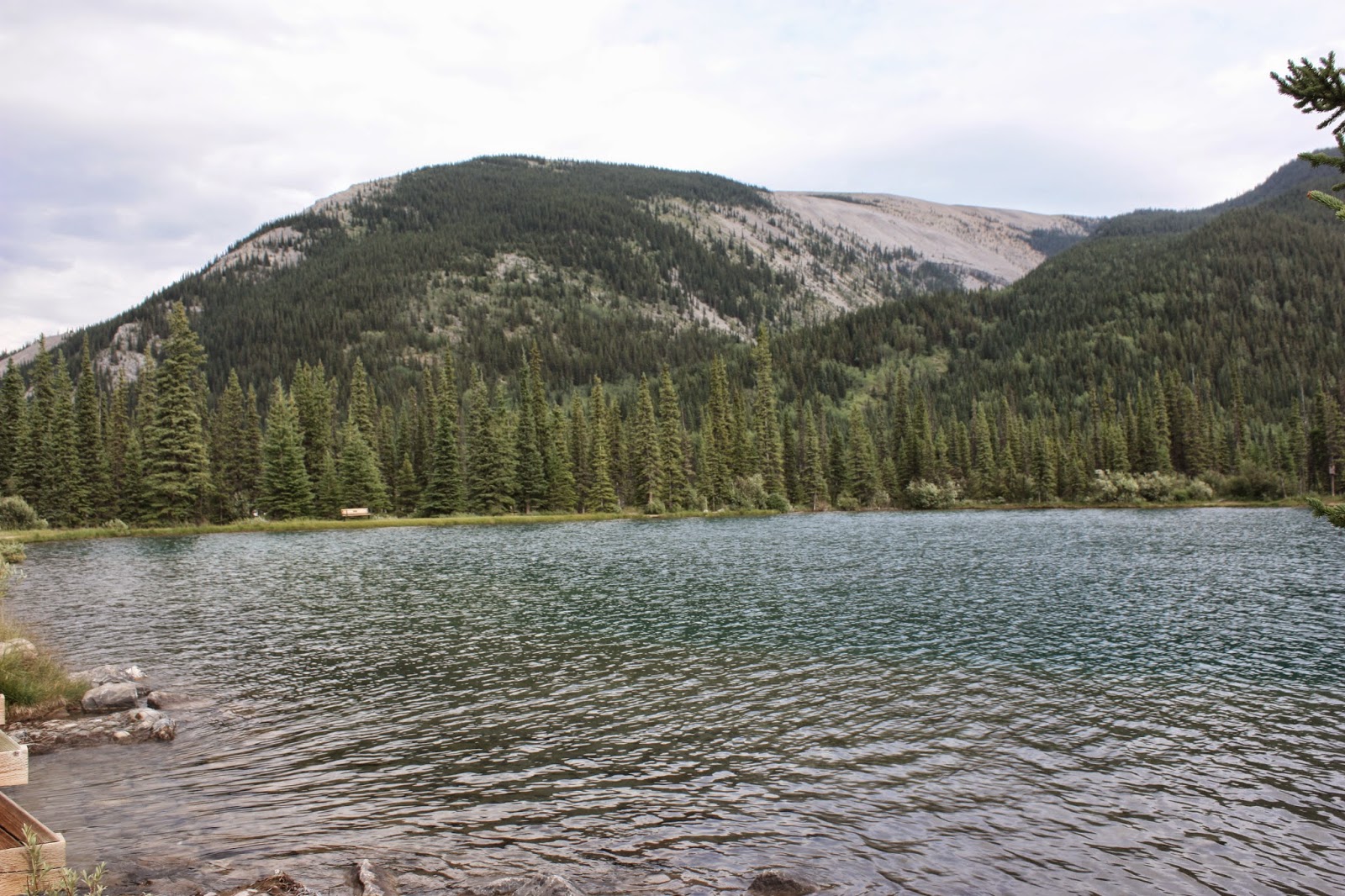
Distance: 6km return
Elevation gain: 60m
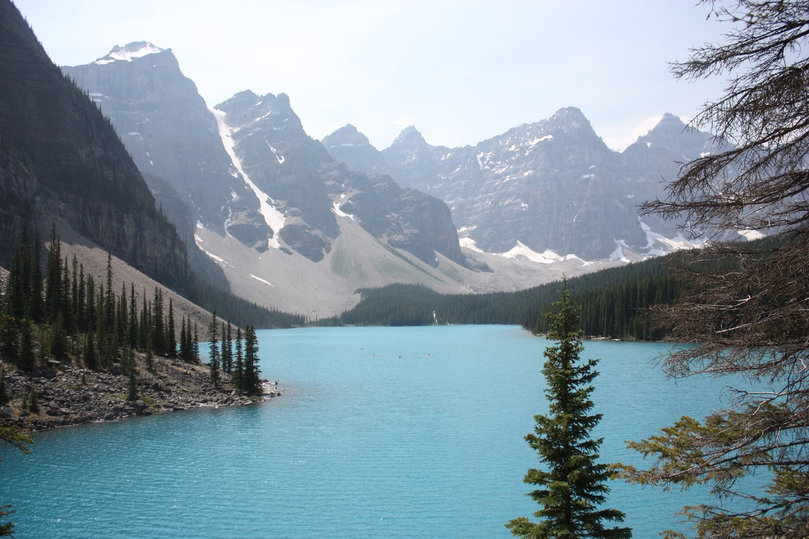
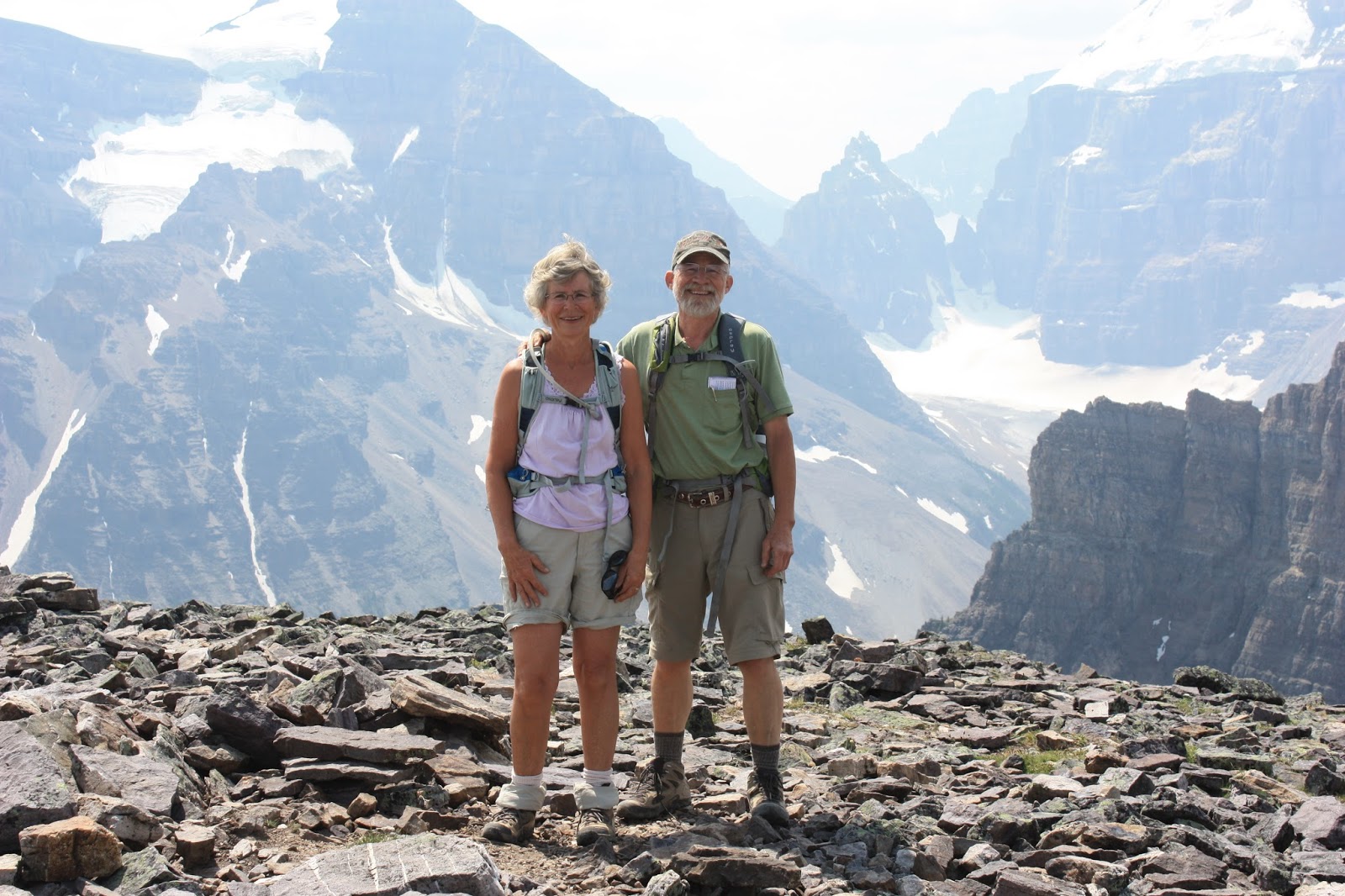
On Thursday, July 9, we chose easy Consolation Lakes for our third hike in a row. We started out early so as to get a parking spot at Moraine Lake.
The first hurdle was to get over the huge rock slide damming up Moraine Lake.
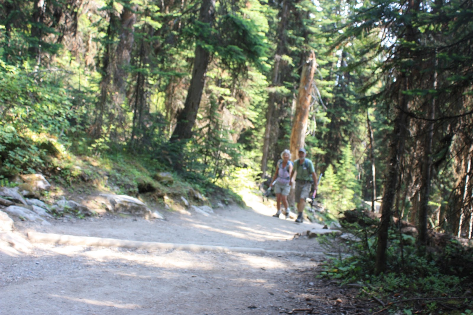
The rest of the trail was wide enough to walk side by side.
We got to the first lake where most people stop and enjoy the views from the rocks but this time Herm wanted to continue to the second lake so with a little trepidation I followed and scrambled over rocks behind him.
We enjoyed the reflections in the lake along the way but no reflections have ever compared with those in Sherbrooke Lake in Yoho.
The underwater rocks were covered with soft green mossy growth. I'm surprised I didn't go in to feel them.
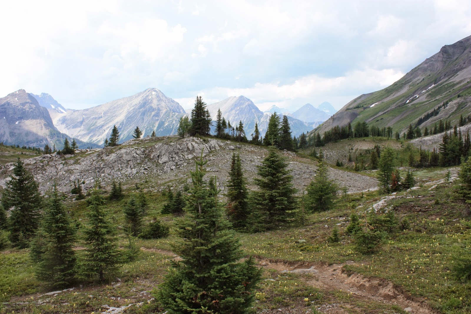
After significant rock hopping we came to the second lake.
We found a patch of green meadow on the far side and there we sat, in the sun, eating our lunch and listening to rocks and snow fall from the mountains across the lake.
Eventually, we were lucky and saw as well as heard an avalanche break free from the glacier above.
Alas, all good holidays must come to an end and we started back. A marmot appeared to say good-bye.
A little climb up the rocky rock fall gave us a good-bye view of Moraine Lake and some of the ten peaks we enjoyed so much on the Eiffel Lake hike.
Friday, 17 July 2015
Thursday, 16 July 2015
41. Mount St. Piran
Distance:13km return
Elevation gain: 920 m
On July 8, 2015, the day after hiking to Helen Lake, we thought we might be able to hike Mount St. Piran.
It can be seen behind the Little Beehive above Lake Agnes.The first half of the trail is up to the tea house at Lake Agnes.
It is steady,gradually up and I appreciated the encouragement Herm gave me by gently pulling me forward.
The first lovely stop was Mirror Lake.
It is a great place to rest for all the weary tourists hiking to the tea house. The Big Bee Hive dominates this area but soon we would be looking down on it.
As we climbed we could see the Little Bee Hive, Lake Louise and Chateau even through the smoky haze from the numerous forest fires.
Finally we reached the peak and had our picture taken while we gazed at Mount Fairview across the lake and at the numerous glaciers on surrounding mountains.
Even I could identify some of the sights below us - Lake Agnes, Lake Louise,Big Bee Hive, Mount Fairview.
The weather was beautifully warm and sunny but when a gust of wind blew, it was cold. Hence the rock shelters built up on top. Our timing was perfect and others vacated this dining area as we arrived.
We sat on chairs with backs, set our food on the table and gave thanks to God for his goodness. In the adjacent dining room was the same Japanese hiker we had met on top of Mount Fairview a few years earlier. After a satisfying lunch in the sun, it was time for a snooze while Herm took more pictures.
Our last planned stop was a detour to the tea house/Lake Agnes to eat a snack by the lake. As we looked for a place to sit someone called us from the patio. Christine, a former home stay student, was there with her parents. So we enjoyed our snack with them as we caught up on each other's lives and encouraged them to try this hike some day.
Elevation gain: 920 m
On July 8, 2015, the day after hiking to Helen Lake, we thought we might be able to hike Mount St. Piran.
It can be seen behind the Little Beehive above Lake Agnes.The first half of the trail is up to the tea house at Lake Agnes.
It is steady,gradually up and I appreciated the encouragement Herm gave me by gently pulling me forward.
The first lovely stop was Mirror Lake.
It is a great place to rest for all the weary tourists hiking to the tea house. The Big Bee Hive dominates this area but soon we would be looking down on it.
We turned up the mountainside just before Little Beehive and all my energy for the hike surfaced. There were flowers everywhere with moderately ascending switchbacks and full view of the mountains around us and the lake below. Glaciers and more mountains appeared as we climbed.
One very beautiful, abundant flower was the gentian.As we climbed we could see the Little Bee Hive, Lake Louise and Chateau even through the smoky haze from the numerous forest fires.
Finally we reached the peak and had our picture taken while we gazed at Mount Fairview across the lake and at the numerous glaciers on surrounding mountains.
Even I could identify some of the sights below us - Lake Agnes, Lake Louise,Big Bee Hive, Mount Fairview.
The weather was beautifully warm and sunny but when a gust of wind blew, it was cold. Hence the rock shelters built up on top. Our timing was perfect and others vacated this dining area as we arrived.
We sat on chairs with backs, set our food on the table and gave thanks to God for his goodness. In the adjacent dining room was the same Japanese hiker we had met on top of Mount Fairview a few years earlier. After a satisfying lunch in the sun, it was time for a snooze while Herm took more pictures.
Our last planned stop was a detour to the tea house/Lake Agnes to eat a snack by the lake. As we looked for a place to sit someone called us from the patio. Christine, a former home stay student, was there with her parents. So we enjoyed our snack with them as we caught up on each other's lives and encouraged them to try this hike some day.
40. Helen Lake
Distance: 14k round trip to ridge above the lake
Elevation gain: 550m to ridge plus 493 to peak
On July 6, 2015, Herm and I camped at Lake Louise to get an early start for this reputedly gorgeous hike through alpine meadows to Lake Helen. We hoped to also do the peak above it.
It was a perfect day and we looked forward to getting through the trees to the views. But first, we had a little surprise: a spruce grouse, who was not afraid of us.
We continued on up through a controlled burn site. Herm found a few white barked pine trees and so it was interesting to learn later that the forest had been burned to encourage growth of more of these trees.
Across the valley from our climb we could see Crowfoot Glacier.
Because there were virtually no mosquitoes in camp or at the parking lot, I left the repellant in the truck. Big mistake! They were soon so thick that I asked another hiker if we could borrow some. Later, my eye swelled half shut and my hand grew puffy, maybe mosquitoes, maybe a different biter that we didn't notice.
Finally, we were through the trees and could enjoy views. Behind Herm is Cirque Peak which was our secondary goal.
The flowers were beautiful, fleabane, heliotrope, arnicas, heather and bright magenta paintbrushes.
Total meadow views are wonderful but tend to blur in a photo.
Helen Creek leads out of Helen Lake and makes a nice watery sound :).
Helen Lake is not as spectacular as its surroundings but it's a good place to eat lunch. Climbing the ridge above gives a better view of the meadows and the small peak on top is the crown and was our goal.
On the way up the ridge we were supposed to greet some marmots and sure enough one was there waiting to have his picture taken.
The view from the ridge revealed more tarns and the trail from above.
Now on up to Cirque Peak. We heard others talking about going up via a "tedious" trail, (shown just around the rocky section)
so we thought we'd just scramble up the rocks which the book suggested as an alternate route. But,,, soon we reached a trail alongside the rocks and followed it trustingly, until...it grew too narrow and we decided we'd rather not take the risk and reluctantly turned around and went back.
By then we decided against going to the peak since we planned to climb another mountain the next day. We were disappointed but wise since we had enough energy left to have another great hike the next day.
Elevation gain: 550m to ridge plus 493 to peak
On July 6, 2015, Herm and I camped at Lake Louise to get an early start for this reputedly gorgeous hike through alpine meadows to Lake Helen. We hoped to also do the peak above it.
It was a perfect day and we looked forward to getting through the trees to the views. But first, we had a little surprise: a spruce grouse, who was not afraid of us.
We continued on up through a controlled burn site. Herm found a few white barked pine trees and so it was interesting to learn later that the forest had been burned to encourage growth of more of these trees.
Across the valley from our climb we could see Crowfoot Glacier.
Because there were virtually no mosquitoes in camp or at the parking lot, I left the repellant in the truck. Big mistake! They were soon so thick that I asked another hiker if we could borrow some. Later, my eye swelled half shut and my hand grew puffy, maybe mosquitoes, maybe a different biter that we didn't notice.
Finally, we were through the trees and could enjoy views. Behind Herm is Cirque Peak which was our secondary goal.
The flowers were beautiful, fleabane, heliotrope, arnicas, heather and bright magenta paintbrushes.
Total meadow views are wonderful but tend to blur in a photo.
Helen Creek leads out of Helen Lake and makes a nice watery sound :).
Helen Lake is not as spectacular as its surroundings but it's a good place to eat lunch. Climbing the ridge above gives a better view of the meadows and the small peak on top is the crown and was our goal.
On the way up the ridge we were supposed to greet some marmots and sure enough one was there waiting to have his picture taken.
The view from the ridge revealed more tarns and the trail from above.
Now on up to Cirque Peak. We heard others talking about going up via a "tedious" trail, (shown just around the rocky section)
so we thought we'd just scramble up the rocks which the book suggested as an alternate route. But,,, soon we reached a trail alongside the rocks and followed it trustingly, until...it grew too narrow and we decided we'd rather not take the risk and reluctantly turned around and went back.
By then we decided against going to the peak since we planned to climb another mountain the next day. We were disappointed but wise since we had enough energy left to have another great hike the next day.
Wednesday, 27 August 2014
39. Burstall Pass
Distance: 16 km return
Elevation gain: 472 m
Monday, August 4, a nice morning but thunderstorms forecast for later in the day so we decided to hike Burstall Pass instead of Tent Ridge for safety sake. Harry and Tena were in agreement with this plan.
The trail starts up an old road, wide enough for comfortable group conversation.
After a few kilometres of this, we reached the alluvial flats, glacier melt. It was a fun challenge to pick our way through the most shallow streams and then use our poles to help us vault over.
On the return, after the rain, the water was higher (or we couldn't find the better trail) and we landed in the streams many times. Fortunately, it was a nice day and our feet didn't get cold just prune-like.
After the water, we climbed and climbed through trees to this valley, a beautiful,open level area for lunch.
Many mountain peaks could be seen and admired from our lunch on the rocks.
The next barren section makes me think of moon landscape and was very startling the first time I hiked this trail.
We continued on up to the pass and explored for a bit but soon the clouds and thunder encouraged us to start back down.
It did rain, we put on our ponchos and continued walking and enjoying all the variety the trail offered.
Elevation gain: 472 m
Monday, August 4, a nice morning but thunderstorms forecast for later in the day so we decided to hike Burstall Pass instead of Tent Ridge for safety sake. Harry and Tena were in agreement with this plan.
The trail starts up an old road, wide enough for comfortable group conversation.
After a few kilometres of this, we reached the alluvial flats, glacier melt. It was a fun challenge to pick our way through the most shallow streams and then use our poles to help us vault over.
On the return, after the rain, the water was higher (or we couldn't find the better trail) and we landed in the streams many times. Fortunately, it was a nice day and our feet didn't get cold just prune-like.
After the water, we climbed and climbed through trees to this valley, a beautiful,open level area for lunch.
Many mountain peaks could be seen and admired from our lunch on the rocks.
The next barren section makes me think of moon landscape and was very startling the first time I hiked this trail.
We continued on up to the pass and explored for a bit but soon the clouds and thunder encouraged us to start back down.
It did rain, we put on our ponchos and continued walking and enjoying all the variety the trail offered.
Tuesday, 26 August 2014
38. Forgetmenot Ridge, B)with Naylis and Skyler
Distance: 14 km return to high point
Elevation gain: 740 m
It was a very windy day in Calgary, July 25, not the best choice for a ridge walk but we decided to go with our plans. We had done this hike before and wanted to repeat it with a variation for this blog. We were also curious to see what changes the flood had made to the trail.
We had to cross the Elbow to begin the trail but we were prepared this time with water sandals and enjoyed the experience.
The trail has some steep sections in shale.
From the top we could see the wide muddy river bed resulting from the flood. Not really pretty.
When we got to the top, we could see the first peak on the north east end which we reached last time.
The descent was easy but still windy until we got into the trees again.
We (Herm) are starting to recognize other mountains in the area. Here we are looking at Nihahi Ridge (recently hiked) across the Elbow River. The blue lake in the middle is Forgetmenot Pond, miraculously untouched by the flood.
On the return, we forded the Elbow and the Little Elbow where the horses do in order to cut some uninteresting distance off. It was a little scary as we weren't sure of the depth but successful.
In this picture from across the pond, we can see where we hiked - up the left edge and then along the top.
Because we did not reach our goal, this hike must be repeated on a less windy day.
Elevation gain: 740 m
It was a very windy day in Calgary, July 25, not the best choice for a ridge walk but we decided to go with our plans. We had done this hike before and wanted to repeat it with a variation for this blog. We were also curious to see what changes the flood had made to the trail.
We had to cross the Elbow to begin the trail but we were prepared this time with water sandals and enjoyed the experience.
The trail has some steep sections in shale.
From the top we could see the wide muddy river bed resulting from the flood. Not really pretty.
When we got to the top, we could see the first peak on the north east end which we reached last time.
This time we wanted to walk along the ridge to the south and perhaps reach the highest peak. Our minimum goal was the rocky peak in this picture. It was easy walking on grass and flat rocks.
But it was not easy walking in the wind. I used the poncho for warmth because the wind was cold and I didn't have a windbreaker. Unfortunately, the wind won and we didn't reach a peak. We did lay down and rest behind some trees and out of the wind before our descent.The descent was easy but still windy until we got into the trees again.
We (Herm) are starting to recognize other mountains in the area. Here we are looking at Nihahi Ridge (recently hiked) across the Elbow River. The blue lake in the middle is Forgetmenot Pond, miraculously untouched by the flood.
On the return, we forded the Elbow and the Little Elbow where the horses do in order to cut some uninteresting distance off. It was a little scary as we weren't sure of the depth but successful.
In this picture from across the pond, we can see where we hiked - up the left edge and then along the top.
Because we did not reach our goal, this hike must be repeated on a less windy day.
What a reward to have our choice of firepits out of the wind, beside the pond and finish the day in stillness and calm.
On August 13, 2020 or so, we hiked up the ridge to the north peak with Naylis and Skyler for Naylis' birthday. He has decided he likes hiking. They found it a bit tiring going up but definitely led the way going back down. Beautiful weather, great cold Elbow River to cross and delicious ice cream reward.
Subscribe to:
Posts (Atom)