Saturday, 25 June 2016

51. Galatea Lakes

Distance: 17km return
Elevation gain: 575 m

This is a popular hike in Kananaskis and we have done it before but Herm was curious about the flood damage of 2013 to the campground and bridges. So Wednesday, June 22, we set out for another lovely hike together.
     The trail to the swinging bridge was still good but soon we saw gravel, washed out trail and a beautiful new bridge.
Around a bend we came to another bridge; there are about 8 bridges crossing Galatea creek on the way to Lillian Lake.
The trail was often on needles and tree roots but frequently we had to travel over flood damage.
After a few hours, we arrived at the trail to Guinn Pass and recalled what a long wonderful hike that had been. A steep climb and we were at Lillian Lake for lunch.
The backpackers campground behind us was still closed because most sites were covered with gravel. The biffy looked new, was very clean and aerated with a solar powered fan. Each user was requested to add a handful of bulk shavings to aid in the composting process. I hope to see more of this technology in the mountains soon.
There were beautiful wild flowers all along the trail but especially lovely were the glacier lilies.
Lillian Lake looked much more spectacular from above where we could see it surrounded by trees and mountains.
After a good climb through trees, open rock and across snow patches we saw the first Galatea Lake.
What a beautiful sight. The water changed colour with the sky but was usually a dull grayish hue with unspectacular reflections. We looked for the trail around the lake to continue on. It went halfway around the first lake partway up the scree and then we lost it. So we found our own way further and went through the notch at the back to hopefully find the next lake.
Here we are, at our goal and well pleased with the lovely little lake nestled in the surrounding mountains. As we sat and enjoyed the view and ate our cherries, snow broke off the cornice up above across the lake and entertained us with its' noise and fall.
I couldn't stand and pose on a peak so I went to feel the water, too cold for more than that. 


Saturday, 18 June 2016

50. Baldy Pass from the South/Midnight Peak

Distance: 12.4 km
Elevation gain: 1061m

June 8, Wednesday, a nice day before a poor weather forecast for the weekend, we found another hike in Kananaskis relatively near Calgary. We started early to finish before a possible thunderstorm in the afternoon. We could see mountains  from the parking lot but weren't exactly sure which one was our goal.
The trail was broad with good footing.
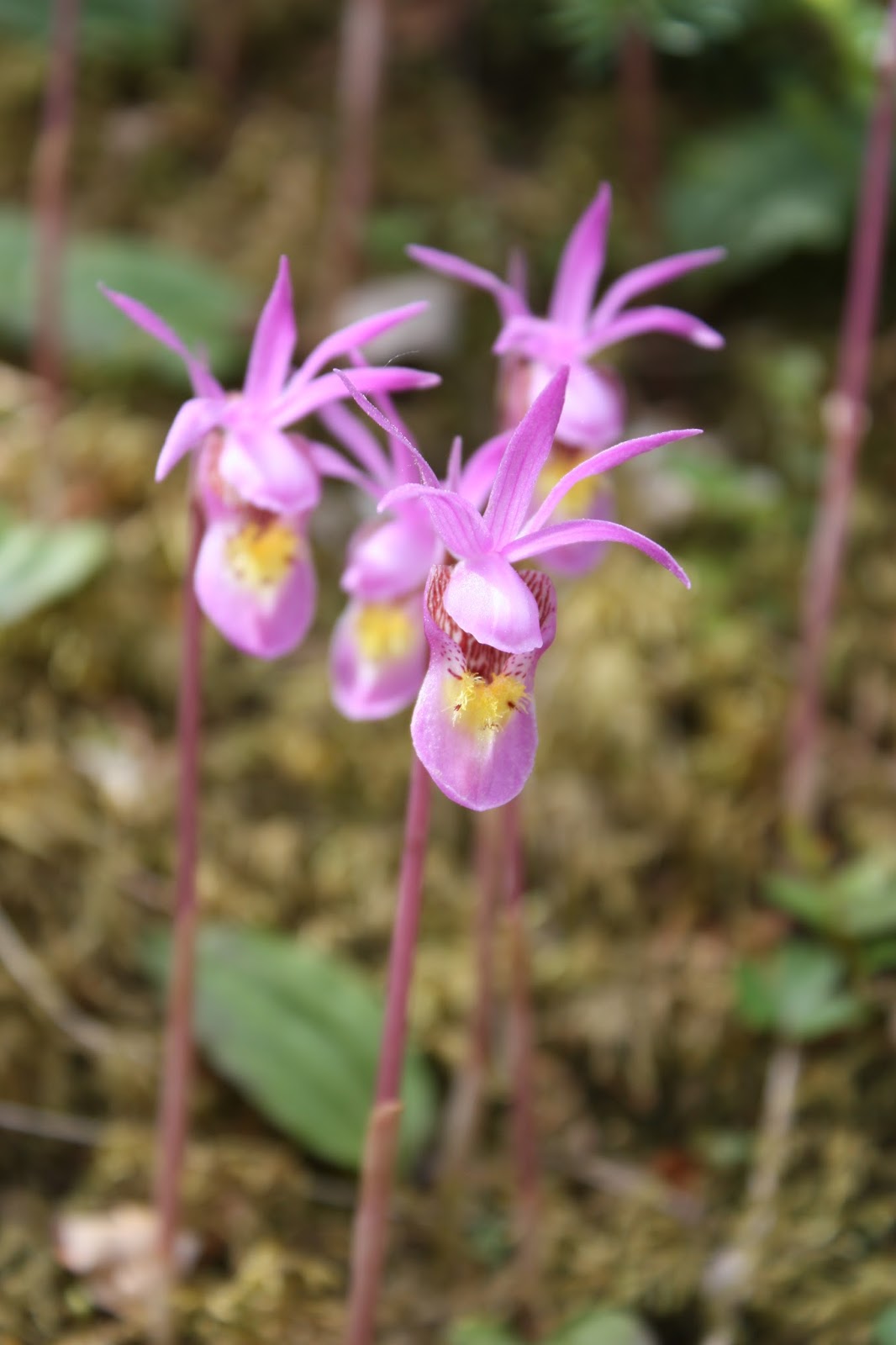
The flowers were still in their early spring perfection. Rose, calypso, clematis,columbine etc
There was still rocky evidence of the flood 3 years before with gravel all over and a washed out bridge going nowhere.
We soon reached the pass but the view was quite blocked from there.
So we climbed a little higher to the right to a better lookout and then saw a trail leading on to a peak. This seemed to be the unnamed peak the book was describing so up we went.
The ridge in the background was our goal and we started out on a trail but soon it was just a few ribbons here and there and then a little disturbed dryad bed between rocks.
Soon the steep climb through the woods became a very steep climb on rocks.
I took a break part way up to renew my energy with lunch. What an experience, the world at my feet, no one else around. Moose Mtn (trip 27) was on the slope across.
Eventually we reached the high point and there was the cairn, or ahu, with the canister for us to register our name and thanks. We gave thanks that we were still able to do such wonderful climbs.

The view from the top was mountains all around.
We had climbed Mt. Baldy to the north (trip 25)but now could see it from a different angle and in clear light conditions. Apparently South Baldy peak is in that direction and also a good hike so we hope to try again. From the top we could see the alternate route down which the book described. It looked a little friendlier so we followed the ridge down, down to the green dryad mat and over to the dry creek bed at the bottom. Eventually we rejoined the trail going up to Baldy Pass.
It got windy and cloudy for about 10 minutes.
From the trail we could look back up and admire our amazing 50th hike, definitely the scrambliest so far.

Sunday, 29 May 2016

49. Raspberry Ridge

Distance: 9km but we did further in our wanderings
Elevation: 653m 

On Wednesday, May 18 we caught a sunny day between welcome cloudy, rainy days and chose a southern hike with no snow. Raspberry Ridge is west of Longview; the drive down highway 22 through ranchland and towns with Harry and Tena was a very enjoyable start to the day.
Near the trail head a large flock of sheep stood and lay on the road, our only wild life for the day.
Around 10:30 we set out for the ridge spotting the active fire tower in the distance.
Although it was only the middle of May, there were already flowers blooming; it being an especially early spring. Jacob's ladders were along the trail the whole way and shooting stars were even more spectacular.

 The ridge kept getting closer and warning us that this easy hike would soon get steeper.
Along the way I saw the most beautiful sculpture for my yard but neither Harry nor Herm would help carry it down.
We saw some switchbacks going up the ridge and hoped that would be our route but no, we followed a steep, direct route up the ridge. We frequently turned around to notice the many clear cuts on the surrounding mountains. One in particular, heart shaped, attracted Harry's attention and was used as a landmark on the way down.
A group picture at the top. Beautiful weather but the wind was cool up here.
We ate our lunch without disturbing the lookout personnel or sunbathing on the heli-pad as the guide book suggested but definitely enjoying the mountain range in front of us.
We thought we would try to find the alternate route down on the switchbacks and avoid the steepness.
We started out well but after half an hour lost the trail and didn't want to return so we scouted, followed animal trails, kept the heart clear cut to the east and finally ran into the last switchback. What a relief!
Soon we came to the cairn we had passed on the way up but not understood. The arrow pointed to the long switchback option while the book recommended the short steep route. At least now we knew where we were.
 We continued on to the car and stopped for a last look back before we headed off for supper in Longview. It was a good 12-hour day.


Monday, 28 September 2015

47. Tombstone Lakes

Distance: 18 k
Elevation gain: 350 m

Friday, September 18, we set off for our last hike of the season to enjoy larch colours. We read there were lots of larch in the Elbow Valley beyond Elbow Lake. It was a lovely forecast so we set off. We arrived at the trail head and saw the snow.
After driving all that way, we figured we might as well continue and make the best of it.
After a short climb, we came to Elbow Lake.
The trail continued around the lake, over the outlet to Elbow River and along the beginning of the river.
Walking along a wide, easy trail, surrounded by mountains, felt awesome.
Soon we came to the Tombstone campground and the  turnoff for Tombstone Lakes. It was dry! Yeah!
However, as we climbed the path got snowier and snowier.
We knew there were a couple people ahead of us and easily followed their footprints to the lake.
The strong, steady wind which had pushed us along thus far even caused waves on the little lake. We were fortunate and thankful to find a relatively dry spot to eat our lunch and very rejuvenated by the sunshine which lasted only as long as we sat there.
The larches across the lake were definitely not in their full glory yet.
 Because the sun had been shining on the slope, the snow was rapidly turning to slush.
Actually the white snow accentuated the orange leaves and green plants and the trail was very beautiful.
This cairn marked the turnoff for Rae Lake, our original destination. The deep snow which obscured the unofficial path and a biker we met encouraged us to save it for another day and go to Tombstone Lake instead.
We both look forward to returning to this valley in the summer and finding Rae Lake on a less windy day.